Context before scores
Information needs a place, a time, a source and visible limitations.
 AEGISForest and vegetation fire protection
Integrated protection concept · Concept phase
AEGIS brings risk awareness, prevention, preparedness and ecological responsibility into one shared framework.

Weather, vegetation, terrain, infrastructure and human activity interact. Improving protection means looking at these factors together and recognizing where an assessment remains uncertain.
AEGIS outlines how observation, data, analysis, communication and responsible action could work together. It organizes tasks and interfaces; it is not a finished platform and does not provide real-time alerts.
Information needs a place, a time, a source and visible limitations.
Prevention, alert pathways and response planning must work together.
Models can support decisions. Responsibility remains with the competent authorities.
One system, six perspectives
The layers describe functions and their interfaces. Select a layer to see its guiding question and review point.
Functional layer 01
Potential environmental, weather, satellite and ground observations are selected to address a specific protection question.
Which observations are actually needed for the protection decision at hand?
Document the source, date, spatial coverage and known limitations of the observations.
This view explains the concept. It does not process live data or calculate current wildfire danger.
A fictional learning example
Choose an illustrative situation. The scenario room shows which questions the six AEGIS layers would consider together—without real data, risk calculations or operational advice.
SIMULATION · NO LIVE DATA
Assessment frame
This learning example is not a real situation or forecast. Decisions belong to responsible authorities using verified information.
The five steps provide a guide. They will not always be linear and must be adapted to local conditions.
Capture relevant environmental and operational information.
Make influencing factors, data gaps and uncertainty visible.
Coordinate prevention, alert pathways, roles and resources.
Review information and coordinate measures responsibly.
Evaluate results and impacts to improve the approach.
An index or alert is only as reliable as its data, assumptions and methods. AEGIS must make clear what is known—and what is not.
Sources, recency and limits of an assessment remain visible.
Models are validated for their specific purpose and location.
Protection measures consider effects on soil, water and habitats.
Roles and action thresholds are agreed with the responsible authorities.
A pilot should be small enough to evaluate carefully and clearly defined enough to assess its value.
Which specific decision should the project support?
Involve the area, responsible authorities and affected communities.
Document existing data, processes and gaps.
Agree on responsibilities, alert pathways and human oversight.
Consider false alarms, side effects and ecological impacts.
Define criteria for adjustment, continuation or termination.
A pilot is not an end in itself. It needs a clear mandate, resources, expert review and defined stopping criteria.
Make evidence visible
AEGIS distinguishes between externally documented background, its own conceptual proposals and questions that still need review before a pilot.
FAO guidelines describe integrated fire management as a comprehensive approach. They are voluntary guidance; they do not validate the AEGIS model.
The six layers, protection cycle and scenario room are AEGIS’s conceptual organization—not an officially recognized or validated method.
Local data, indicators, thresholds, model performance, alert pathways, responsibilities and ecological effects each require expert and local review.
Voluntary guidance on principles and strategic actions for integrated fire management. A reference for the subject area, not an endorsement of AEGIS.
Official European information system with fire danger, observed fire and damage products. Coverage and suitability depend on the product, location and purpose.
Global information service with situation views, forecast products and data access. It is a reference for possible future review, not an AEGIS data connection.
Sources checked: October 2026. External material can change. Before publication or operational use, verify bibliographic details, terms of use and the documentation for each data product.
AEGIS is in the concept phase. These steps outline a possible path to careful evaluation; they do not imply that implementation or a pilot has begun.
Clarify protection questions, layers, responsibilities and limitations.
Invite authorities, researchers and local stakeholders to a structured review.
Agree on location, data, methods, criteria and stopping conditions.
Transparency: This website currently has no live data, validated risk scores, confirmed operational partners or active pilot areas.
A concept improves through exchange
AEGIS is not recruiting formal members. The immediate need is for expert feedback and potential discussion partners to examine assumptions, limitations and sensible next steps.
RESEARCH & EXPERTISE
Fire ecology, forestry and environmental science, remote sensing, data analysis, incident planning and risk communication.
PUBLIC AUTHORITIES
Forest and nature protection, civil protection, fire services, municipal planning and responsible administrations.
PLACE & COMMUNITY
Municipalities, forest owners, land users, civil society groups and people in areas exposed to fire.
DATA & TECHNOLOGY
Geospatial data, sensing, interoperable systems, secure communication, privacy and accessible design.
Project brief
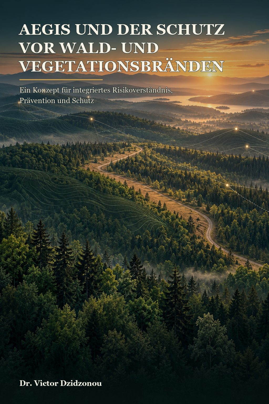
Book manuscript in preparation
The manuscript moves from risk awareness, data, sensing and decision support to response management, ecology and potential pilot projects.
The concept is being developed and reviewed. The book has not yet been published.